RANDONNEE DES COLLINES DE LA MOURE


Contact
RANDONNEE DES COLLINES DE LA MOURE
Presentation
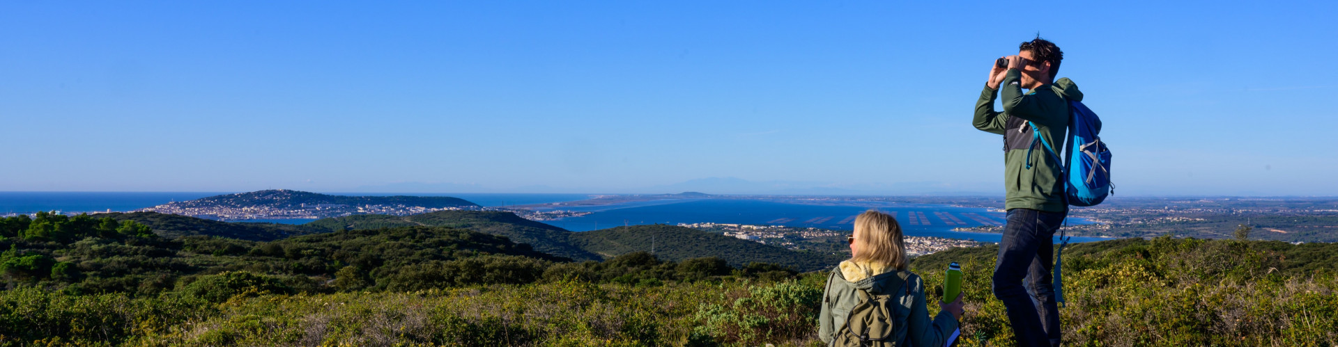
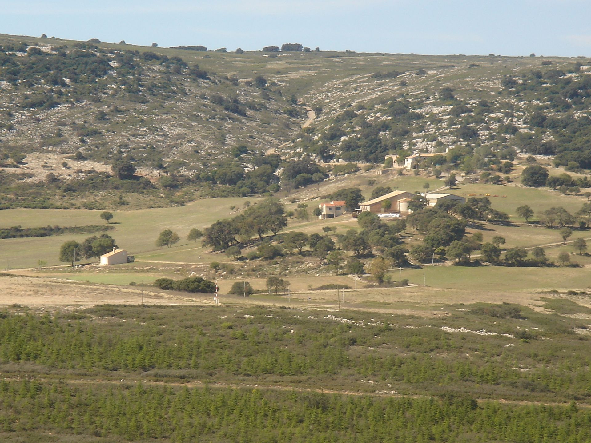
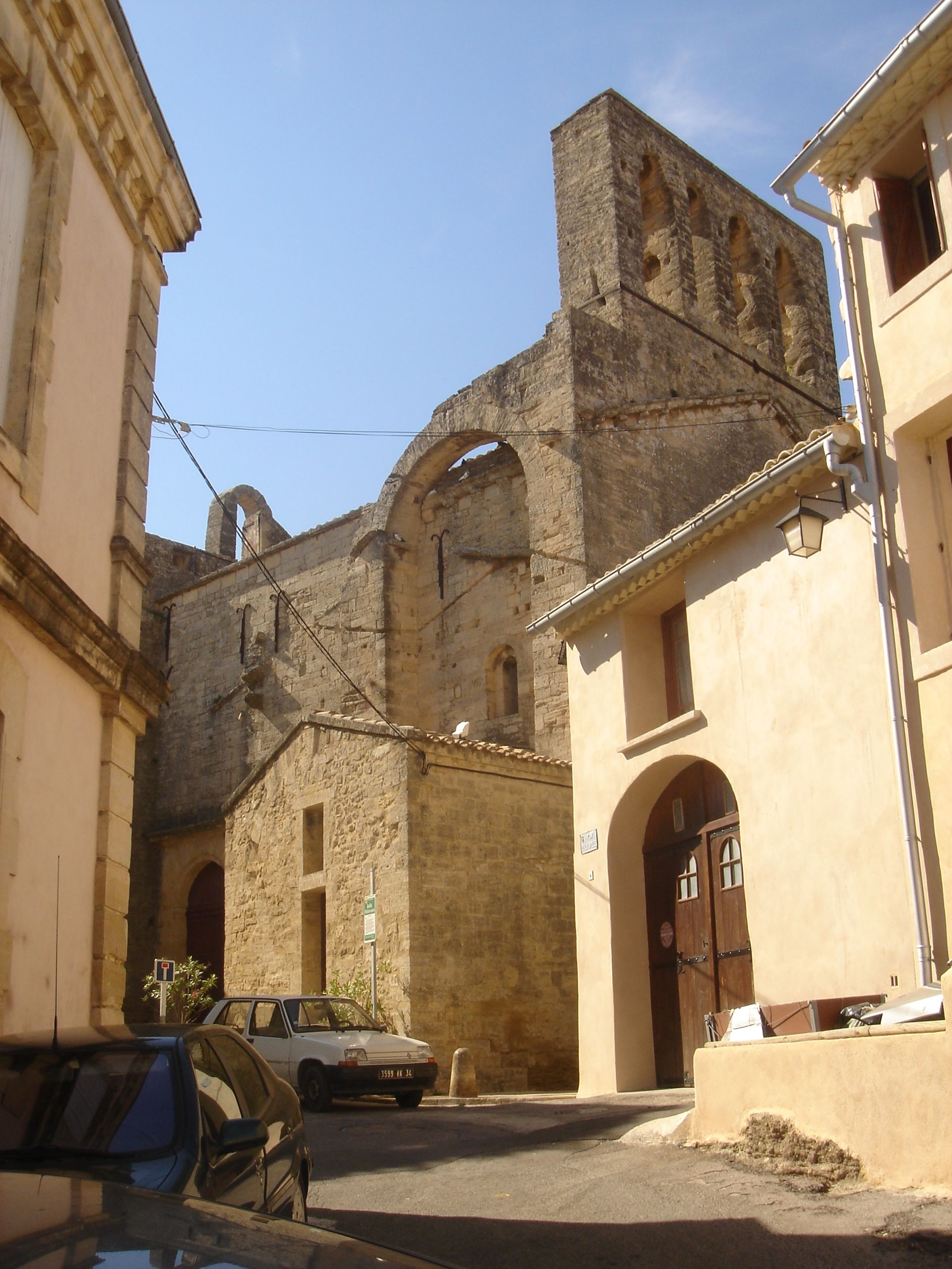
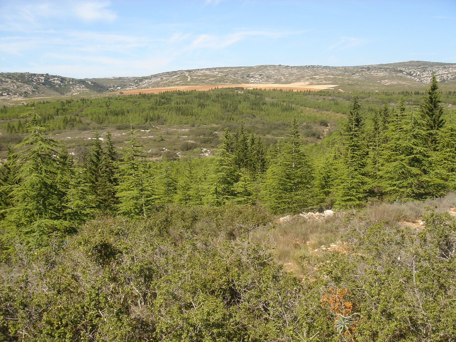
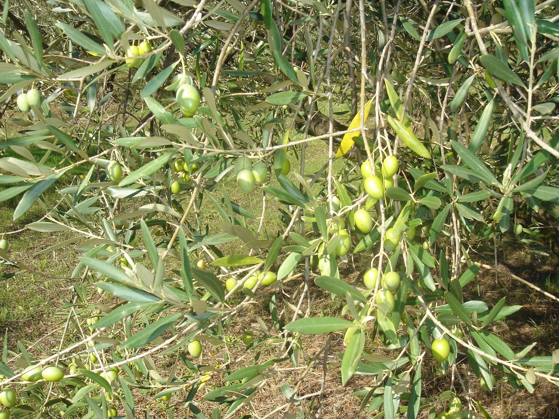
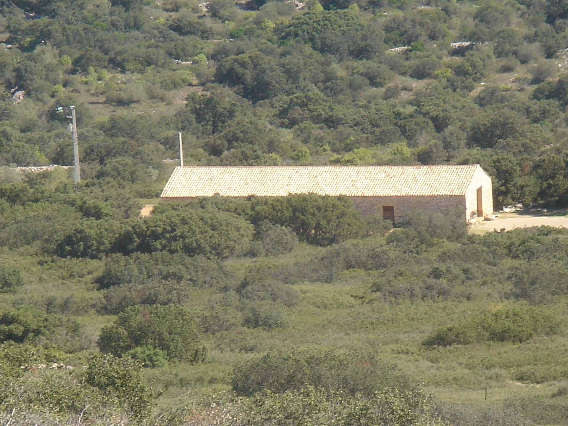
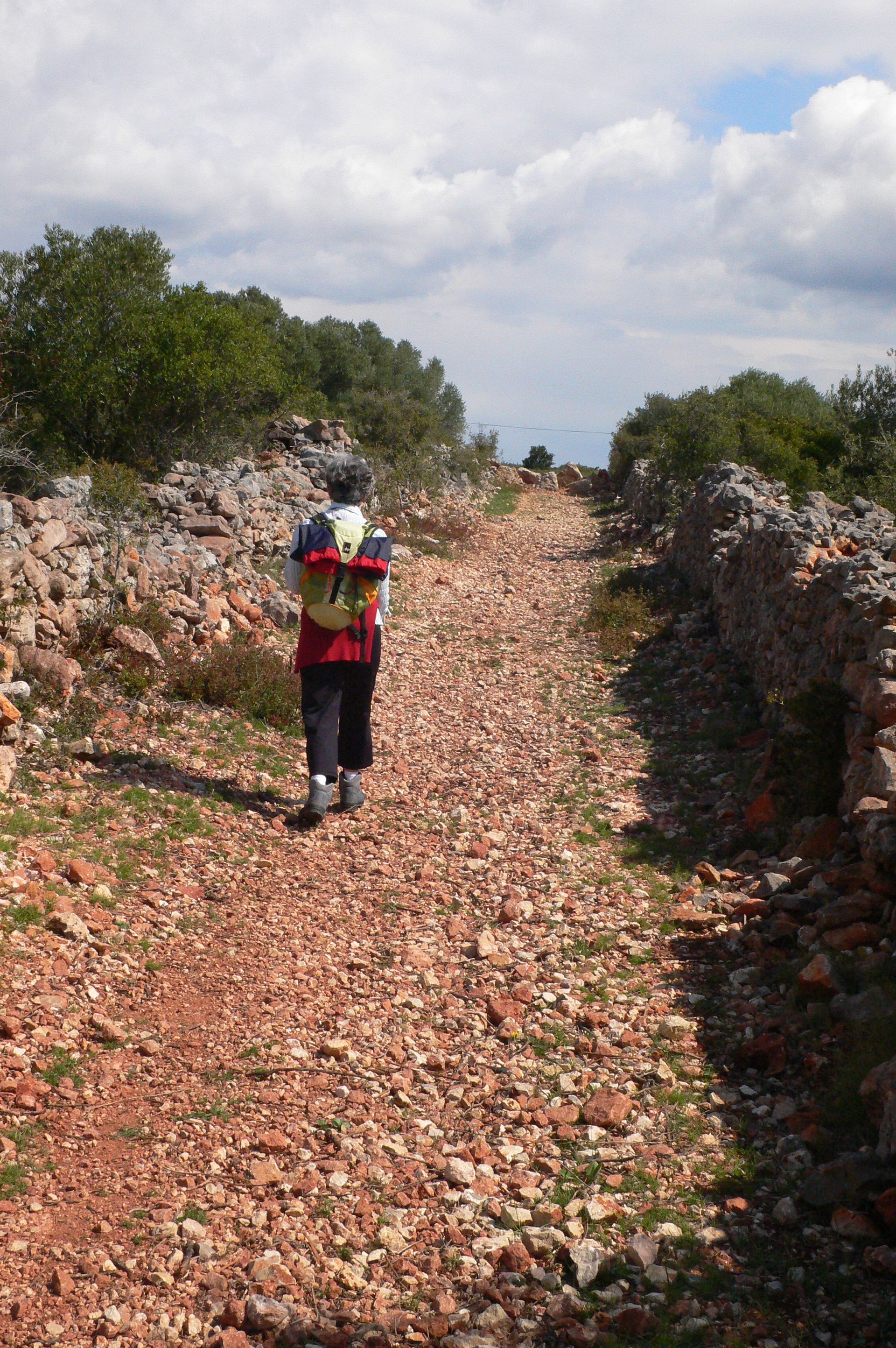
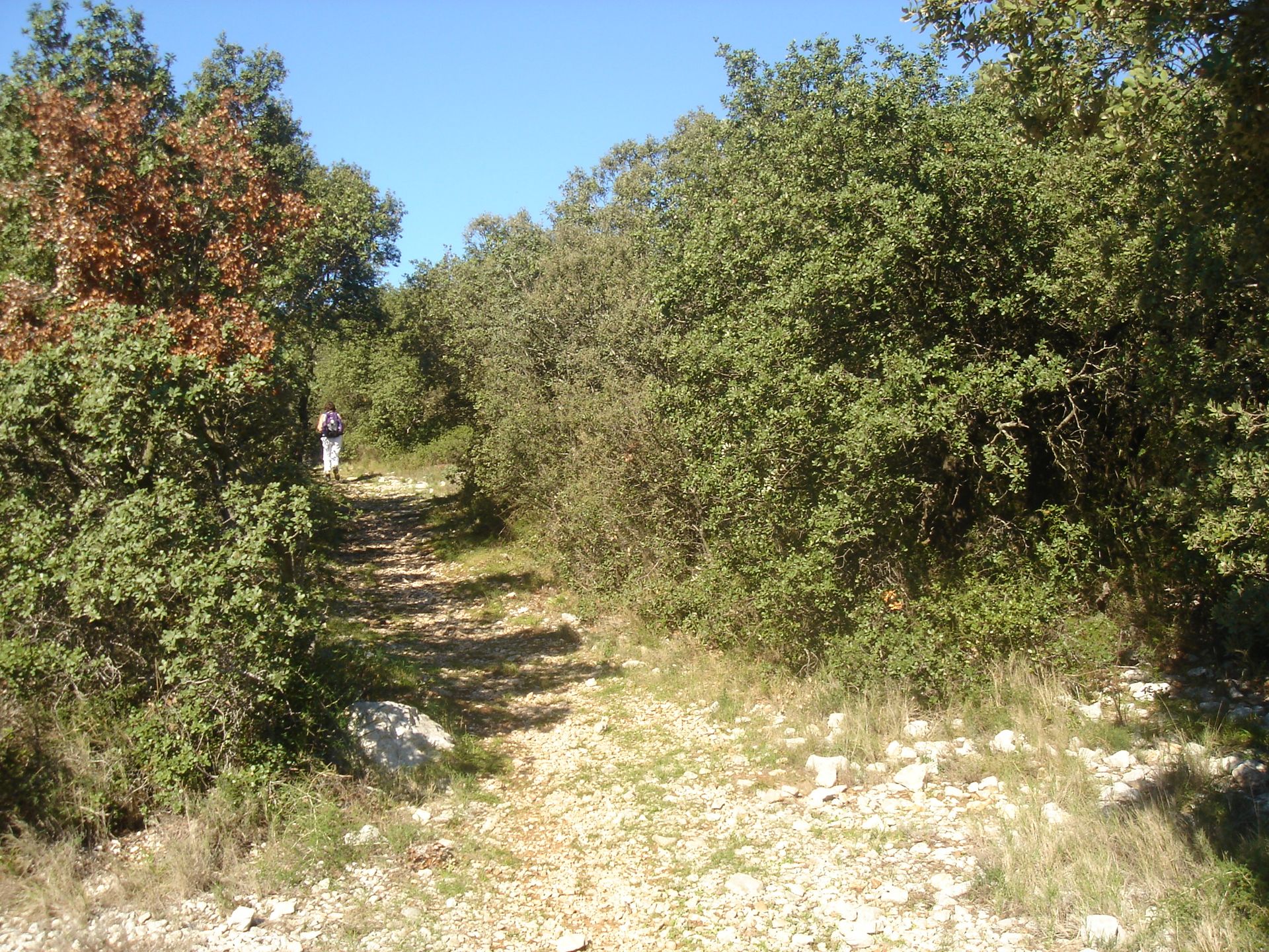
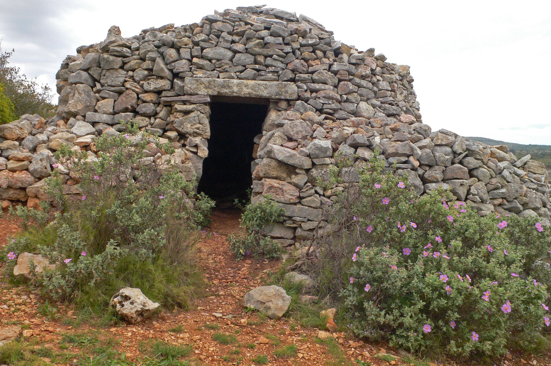
This route threads its way through the kermes oaks that cover the foothills of Aumelas plateau, and leads to a view point overlooking the blue waters of Thau lake.
FICHE_INFO_TITRE_ACCESSIBILITE
||||||1||#||||||2||#||||||3||#||||||4||#||||||5||#||||||6||#||||||7||
Destination
RANDONNEE DES COLLINES DE LA MOURE
GPS coordinates
Latitude : 43.5134275
Longitude : 3.69622076