MONTBAZIN


Contact
MONTBAZIN
34560
MONTBAZIN
Presentation
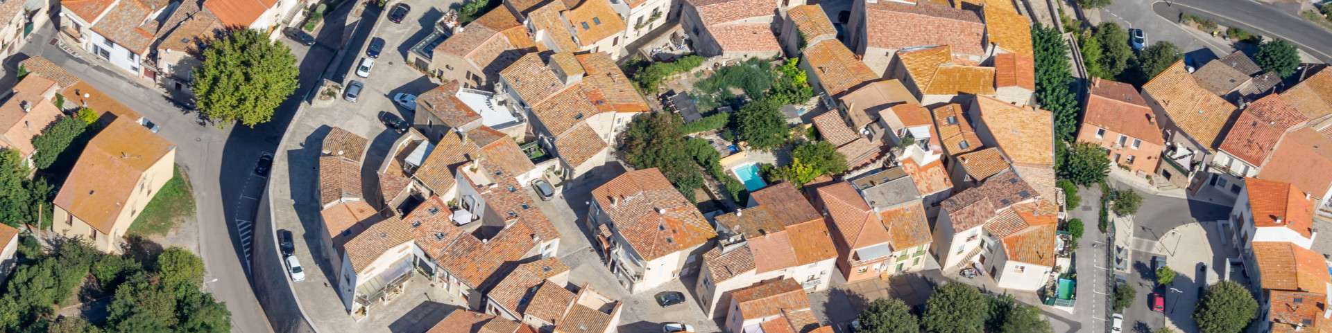
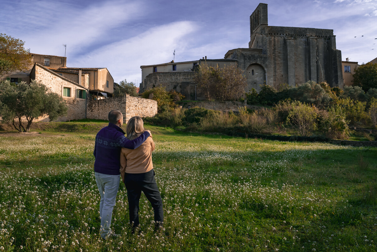
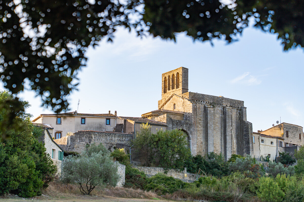
A thousand-year-old village nestled between the hills of La Moure and the Thau Lagoon, Montbazin is a place of calm and tranquillity. Wander through the Mediterranean Garden open to all or wander through its picturesque streets. You will be captivated by its rich medieval heritage. The Saint-Pierre church, a 12th century Romanesque chapel, houses Romanesque frescoes of Italo-Byzantine inspiration, rare in the region.
Further on, you can see the Colonnades, the belfry and numerous 19th century winegrowers' houses. Surrounded by beautiful vineyards, the town has several award-winning grape varieties. Don't hesitate to go and meet the winegrowers and taste delicious beverages in moderation!
Take a walk to the Juffet mill, freshly restored by the Bern mission and the heritage foundation on the road leading to Gigean, its owner will be delighted to show you around. Its majestic wings can now turn in the wind.
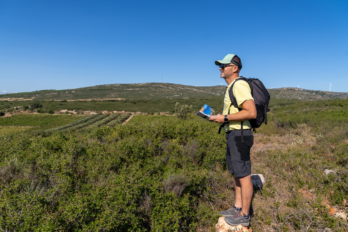
Nature lovers can also enjoy beautiful walks in the middle of the surrounding garrigue. A hiking trail is proposed and takes you above the Agas sheepfold, with an original view of the wind turbines erected on the hills of La Moure. A digital hike is also proposed on this beautiful playground.
For even more discoveries, pedal through the fields on the cycle track that links Montbazin to Poussan.
Further on, you can see the Colonnades, the belfry and numerous 19th century winegrowers' houses. Surrounded by beautiful vineyards, the town has several award-winning grape varieties. Don't hesitate to go and meet the winegrowers and taste delicious beverages in moderation!
Take a walk to the Juffet mill, freshly restored by the Bern mission and the heritage foundation on the road leading to Gigean, its owner will be delighted to show you around. Its majestic wings can now turn in the wind.
Nature lovers can also enjoy beautiful walks in the middle of the surrounding garrigue. A hiking trail is proposed and takes you above the Agas sheepfold, with an original view of the wind turbines erected on the hills of La Moure. A digital hike is also proposed on this beautiful playground.
For even more discoveries, pedal through the fields on the cycle track that links Montbazin to Poussan.
Destination
MONTBAZIN
34560
MONTBAZIN
GPS coordinates
Latitude : 43.51617
Longitude : 3.69427